
Landscape and Geology around Slievenamon, county Tipperary

Panoramic Landscape of Slievenamon, county Tipperary
Forty square miles around Slievenamon
The Mountain of Slievenamon is located about 10km from our home and over the last few years I have walked up and around the this mountain a lot.
It is an area I am very taken by and love exploring.
For anyone who has visited the mountain and surrounding area, something that you may not have noticed however it the complete scale and geology of the mountain. When you look at the area from a satellite image (Like the one below) the geology of the area becomes a bit clearer.
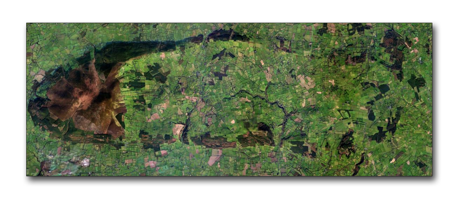
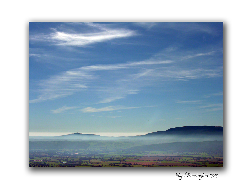
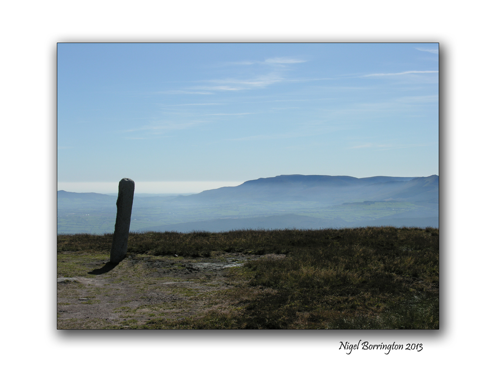
To the left of the image above is the main mountain peek of Slievenamon, itself Rising up some 721m above the landscape below, however this is not the full extent of the mountain, spreading out towards the east and from the north and south of the mountain run two ridges of hills. These ridges them selves form an oval shape that meets some eight miles away from the mountain top.
Photographic project
Over the summer I want to record this complete area returning to the top of the mountain and then walking and recording as much of the ridge’s as possible.
History and Megalithic locations
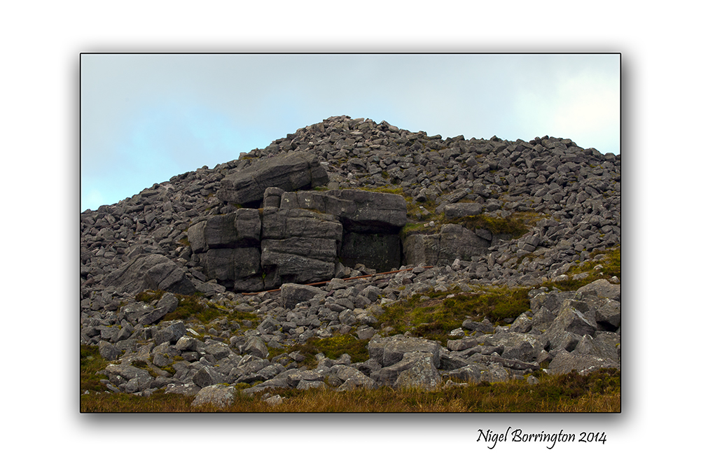
One of the main reason I have for starting this project on the blog, is that for sometime I have noticed that both at the very top of Sleivenamon and around the oval of the extended foot hills are many Megalithic sites ( Stone circles, Passage tombs, Graves and Standing stones).
I will come back to the satellite image above and mark the location of any landscape images I post.
Above all I just want to share the landscape that I live in and reflect upon some of its history and enjoy myself getting to know it as much as I can.
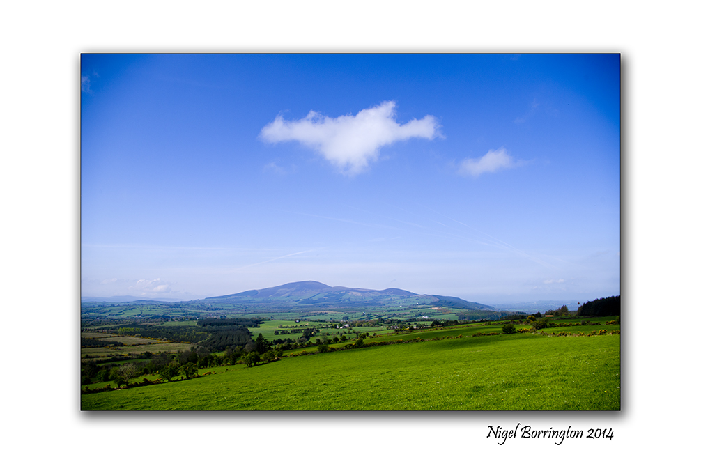
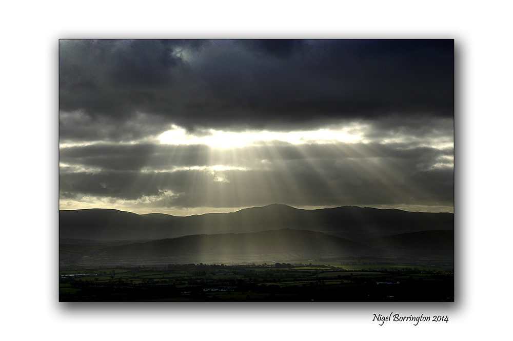
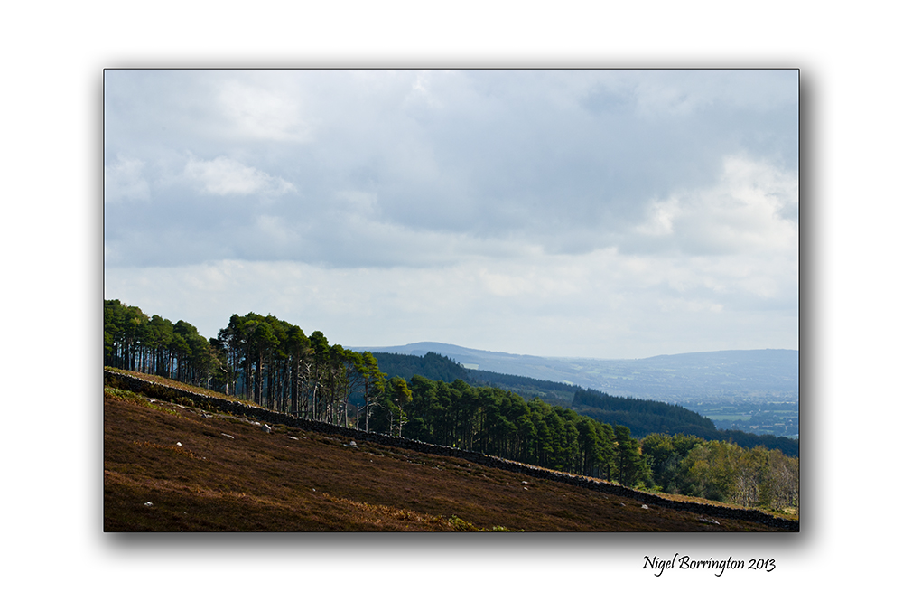
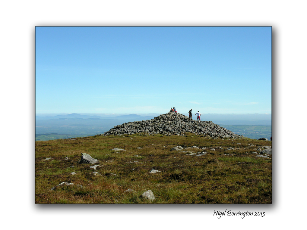
The Landscape of Slievenamon

Oh … the beauty of Ireland …
May 13, 2014 at 5:24 pm
Hello Herman 🙂 🙂
🙂
May 14, 2014 at 2:21 pm
😀 😀 😀 😀 😀
May 14, 2014 at 2:51 pm
Looking forward to it, Nigel!
May 13, 2014 at 6:06 pm
Hello Elen 🙂
🙂 🙂
May 14, 2014 at 2:22 pm
Look forward to the magic.
May 13, 2014 at 6:50 pm
Hello Simon 🙂 🙂
🙂
May 14, 2014 at 2:31 pm
Great project Nigel. I find it focuses the mind having a theme like this and I’ve been trying to cover as much of the Bluestacks as possible myself. Keen to keep an eye on your results.
May 13, 2014 at 9:31 pm
Hello Aidy 🙂 🙂
Good luck with the Bluestacks , they are just wonderful looking forward to seeing you images 🙂 🙂
Thank you !!
May 14, 2014 at 2:23 pm
Another beautiful gallery Nigel! : )))
May 13, 2014 at 11:06 pm
Hello Anne 🙂 🙂
Thank you !!!!
May 14, 2014 at 2:22 pm
Totally fascinating, Nigel ! – I delight in your search for geological knowledge. Surely that satellite image must show that it was once a volcano ???
May 14, 2014 at 11:09 am
Hello Margaret
Thank you 🙂
I think thats a great point and a big possibility !!!
Ireland was effected by the Iceage too, so it could also be that the softer rock was carried away!!
But
I have oven okked at the shape and wondered about it being volcanic Yes !!!
From what little I understand, when the top rock of the crust moves it can leave the deeper source of the volcano behind, but the geology is still clearly the results of having been volcanic !!!
A great comment Margaret and very helpful as I dig deeper!
Hee Hee !!
Thank you 🙂 🙂
May 14, 2014 at 2:30 pm
I think your interest is entirely commendable – and it benefits us, too ! 🙂
May 14, 2014 at 9:23 pm
Another stunning gallery Nigel. How interesting too. I’m intrigued by the old tombs 🙂
May 16, 2014 at 7:52 am